Telecommunications
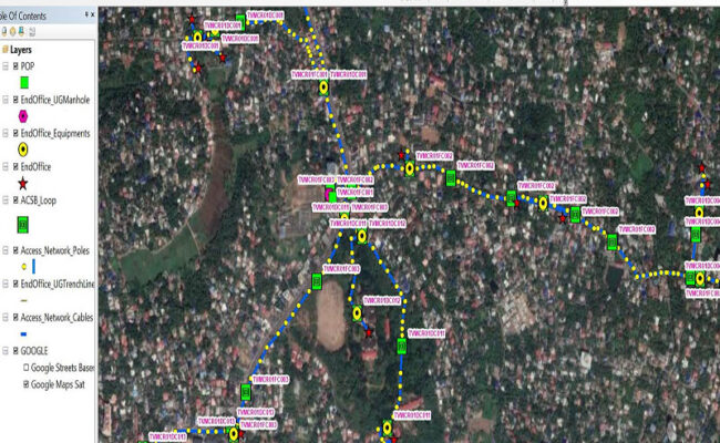
We understand the revolutionary changes and ever-increasing demand for the fiber communication network and we are well equipped with resources and technology to provide best-in-class services in the field of fiber network planning and design to the clients. We deliver optimized Designs that lead to faster rollouts and provide accurate and up-to-date access to critical network information which is fundamental to staying ahead. Our Fiber Network Services & offerings include but not limited to the following:
- GIS-based Network Planning and Designing (GPON, FTTH, and EPON)
- Link & network Budgeting
- Generation of BOMs, BOQs, Splice Plan, SLDs & HLDs
- Route Optimization
- Link and network Budgeting
- Detailed splice plan preparation and Documentation
- Preparation of BOQ & BOM
- Preparation of High Level & Low-Level Network Diagrams
- As-Built Diagrams
- GIS Supported Web Solution for Network Management

In the Numbers
Mapping and Geospatial Data Creation

UAV based Spatial Data Solutions
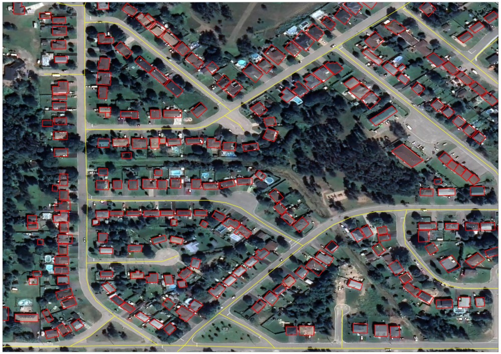
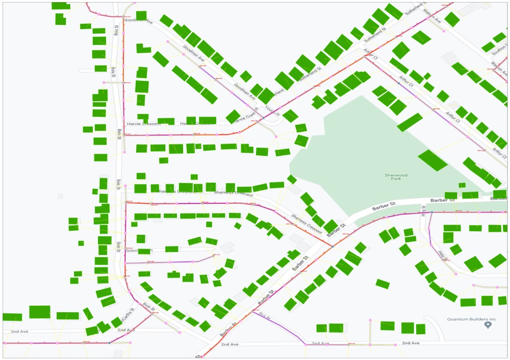
GIS data creation is the extraction in digital form of real-world data to be used for analysis or visualization. It helps explain the existing scenarios or models in reference to the geographical location of targets. In order to produce GIS data, valid spatial and attribute data is essential, and this involves a software input system such as ArcGIS, QGIS, ERDAS, as well as potentially hardware support such as GPS devices.
The current mapping landscape is changing rapidly. Due to rapid hardware and software development, we are witnessing a shift in surveying and mapping technology. Unmanned Aerial Vehicles (UAVs) or drones are the most popular recent trend in data collection. UAVs provide an easy and cost-efficient way for collecting a large amount of high-resolution spatial data. With the help of drones, it is possible to complete previously time-consuming tasks within a day – including preparation, flight, image processing time, and generating precise and up-to-date overviews for further project planning and management.
GIS Application in Energy
Geographic Information Systems (GIS) have evolved to the point where they are now being used in almost every segment of the economy. Familiarity with GIS and how GIS can be leveraged to solve business, engineering, environmental, and social problems is a skill that is in demand in all business sectors.
Power companies can intelligently plan, build, monitor, and manage their transmission networks using GIS technology. Use GIS to assess grid reliability levels and formulate plans for improving reliability, meet compliance requirements, site and manage transmission corridors, inventory and schedule right-of-way maintenance, and analyze load growth or changes in load shape or strain on substation capacities.

In the energy sector, GIS is used for :
- Planning and monitoring power generation resources
- Determining optimum generation potential
- Formulating what-if scenarios
- Studying environmental impact
- Managing facility assets
- Analyse the network congestion
- Growth opportunities for renewable energy sources
- Site feasibility Analysis
- Creation of energy resource market scenarios
Using GIS technologies, generation and transmission companies improve their business operations by :
- Analyzing market potential
- Reducing maintenance costs
- Optimizing assets
- Monitoring environmental impacts
- Automating processes
- Streamlining work procedures
- Improving earning potential
- Integrating business systems
